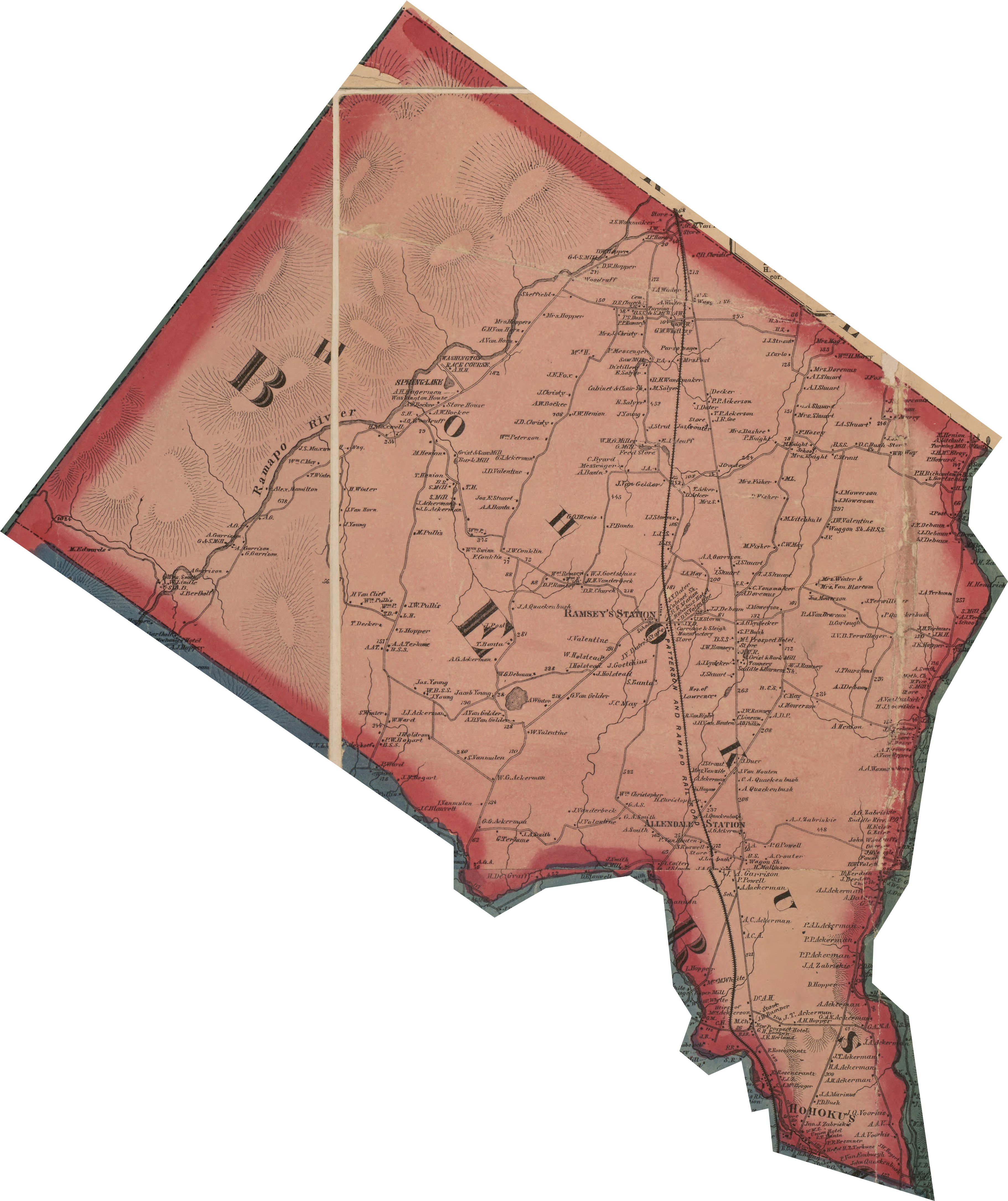
1861 Map of the Counties of Bergen and Passaic from surveys
The earliest of the maps I am using for this project, is the 1861 Map of Bergen and Passaic Counties, which was created from a number of previous surveys. On this map, we can see that a number of roads which are still used (Ramapo Valley Road, Franklin Turnpike, Miller Road, East Crescent Avenue, Darlington Avenue, Campgaw Road, etc.) were present at this time. This map also includes property owners and some shops and train depots.