The Masonicus section is located in the eastern part of Mahwah Township and was once home to many families farming on their land. The large majority of landowners in this section were descendants of the settlers that inhabited Mahwah many years prior
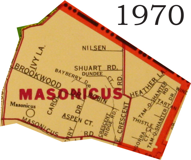
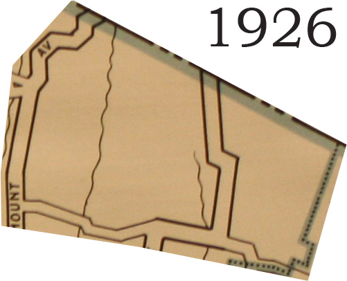
Looking at the three maps below, the sharp drop in farmers between 1940 and 1970 can be seen in the development of the area and an increase in the number of streets. In the first map, from 1926, there is nothing in the Masonicus area, and this was most likely because this area was split into a number of farms.
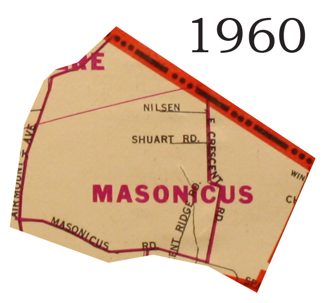
There is minimal street growth between the 1926 and the 1960 maps. We can see two roads, Nielsen and Shuart Roads coming off of East Crescent Road.
Between the 1960 and 1970 maps, we see a sharp increase in the development of the neighborhood. Nearly ten new streets have appeared in the decade between maps, and I believe that this has to do with the decrease in the number of farmers in the area. According to Alvina Pelz Frey, between 1940 and 1970, approximately 85% of the farmers in the Masonicus area took advantage of the increased value of land in the area and sold off land to developer.