The Stag Hill section of Mahwah originated as a poor section of inexpensive land where poor white, black families, Native Americans and squatters settled (Bischoff & Kahn, 96.) Slowly, over time, a number of families have become the prominent names in this area, including the Manns, The DeGroats, the DeFrieses, and the Vandunks. The people of the mountains lived largely in log cabin dwellings and were secluded from the majority of the rest of the town; by infrastructure as well as by choice. There were negative connotations of these people by the majority of the citizens of Hohokus Township then, as well as today. Infrastructure hindered people either traveling to or from the mountains, being that there were not viable or passable roads for carriages or other vehicles to travel on (Bischoff & Kahn, 210.)
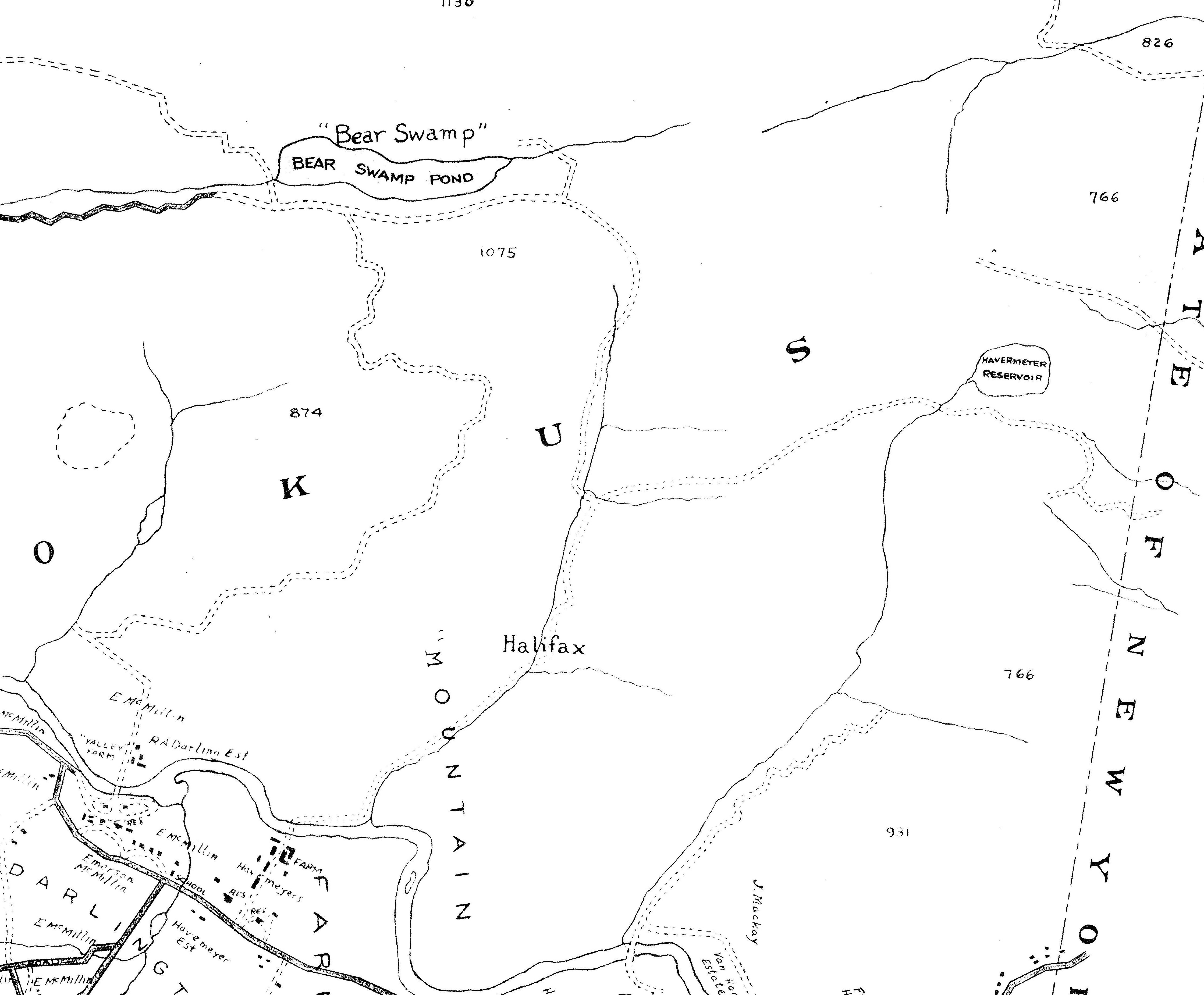
On the 1913 Bromley map, there are what appear to be paper roads that can be assumed to be unpaved, according to the accounts of Garret Valentine, tax-collector for Hohokus Township (Bischoff & Kahn, 210-11.)
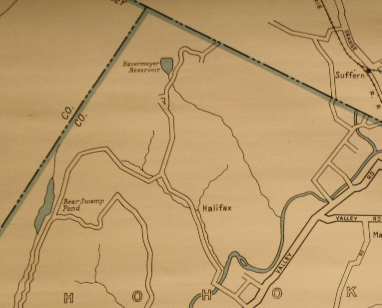
By 1926, there appears to be one road cutting through the mountain, but not into the area where the majority of settlers were living.
Finally, by the 1960 map of Mahwah, you can see around Silver Lake, a “summer colony” was established, supposedly in the 1920’s, but does not appear on the 1926 Hagstrom Map. 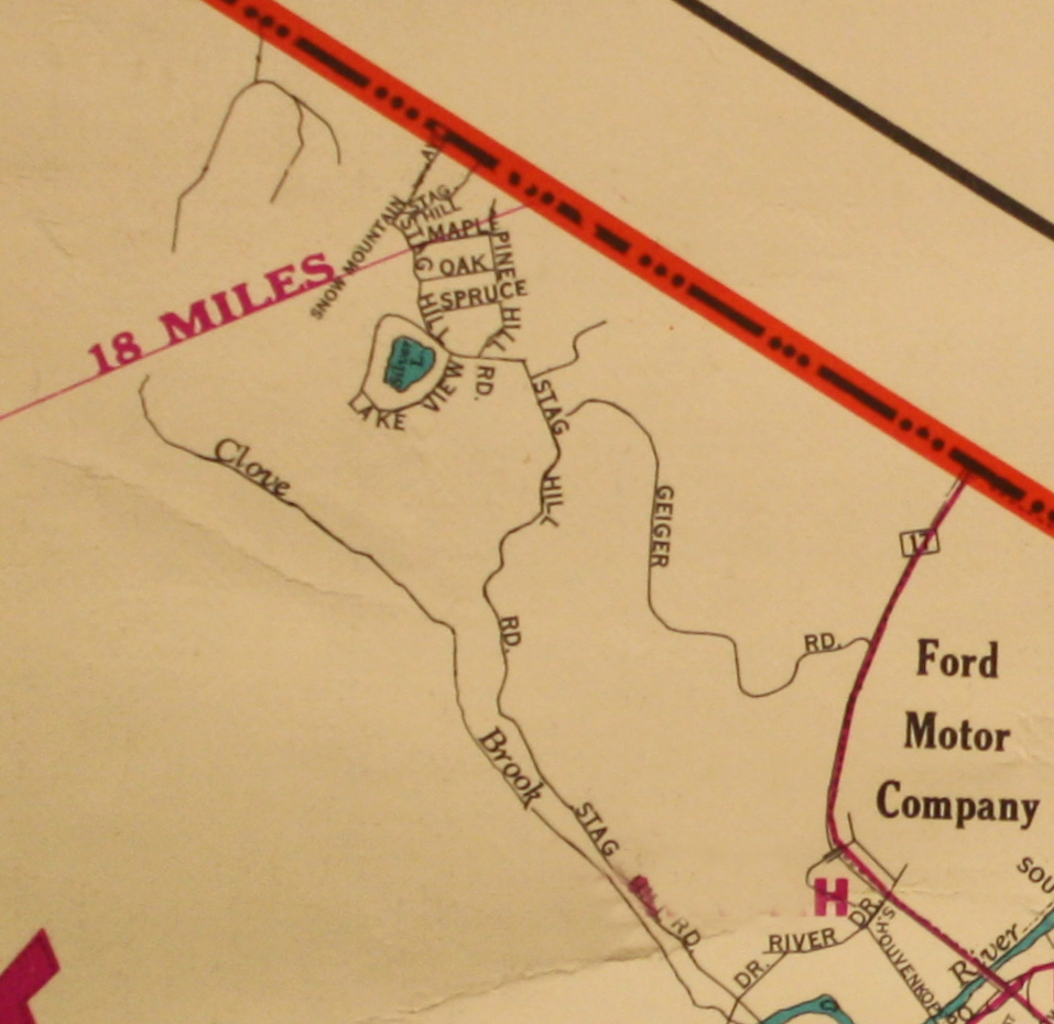
A large number of the Ramapough Lunaape Indian tribe live on Houvenkopf Mountain, in the Stag Hill area, where their tribal offices are located.